Inverza press & media resources
Everything journalists, bloggers, reviewers, and content creators need to write about Inverza. Facts, screenshots, logos, and contact, all in one place.
At a glance
About Inverza
Inverza is a landscape photography weather app for iOS. It auto-selects the best regional weather model for each location and layers real-time airport observations, marine sea-surface temperatures, aerosol data, and terrain analysis on top to predict sixteen photo-worthy conditions, from colorful dawn and ground fog to aurora borealis, cloud inversions, and lenticular clouds over mountain ridges.
Where generic weather apps answer "is it going to rain?", Inverza answers "will the light be worth getting up at 4 a.m.?" Each condition has a confidence score, a predicted time window, and an explanation photographers can trust. The app is designed by a landscape photographer for landscape photographers.
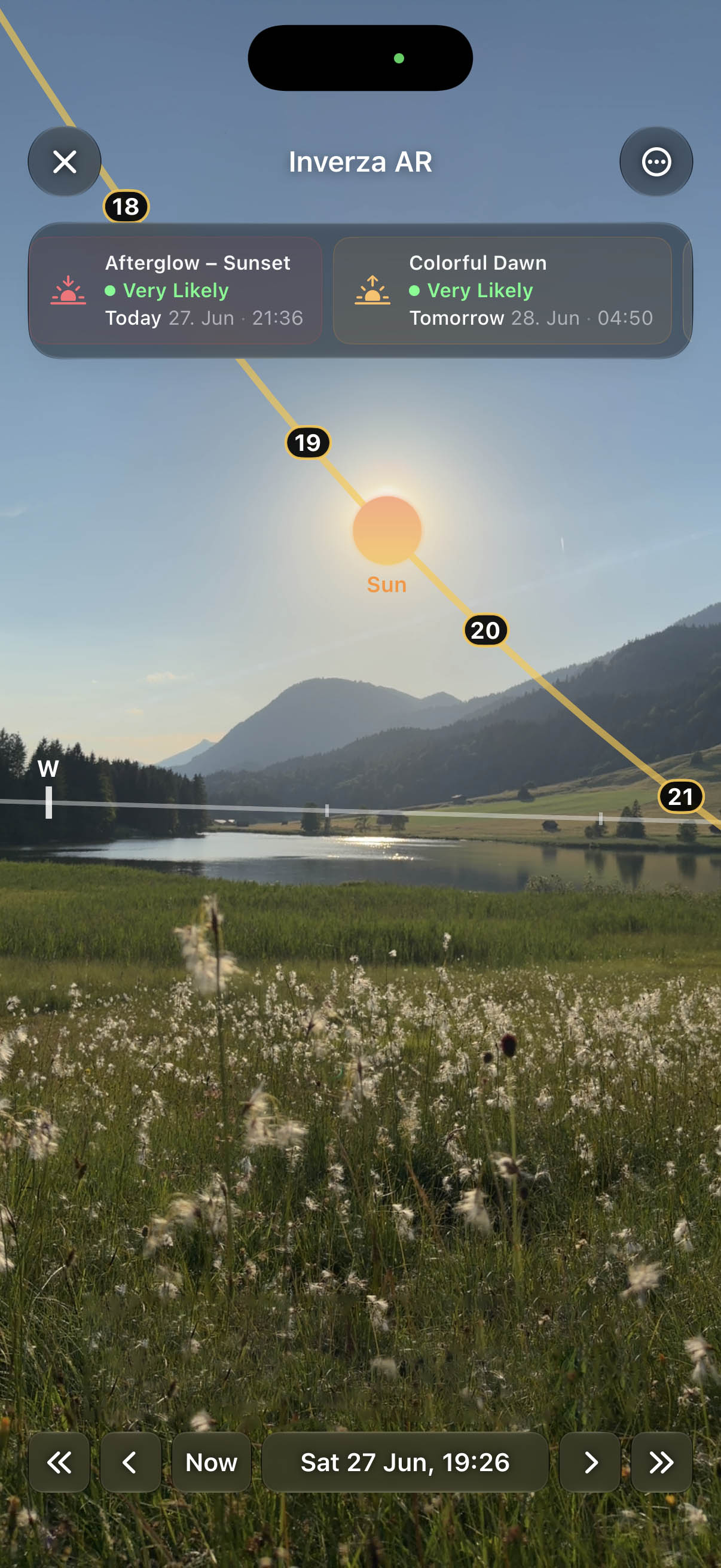
Version 1.5 extended the forecasts into composition planning: an ARKit-powered AR Sky view draws sun, moon, and Milky Way paths onto the live camera feed with a time scrubber and per-lens framing preview, a Horizon Paths chart shows the real terrain horizon of any saved spot with sun and moon arcs across it for remote planning, and a Raw Weather Data panel surfaces every underlying forecast value as interactive 7-day charts with custom alerts on the exact values a photographer cares about.
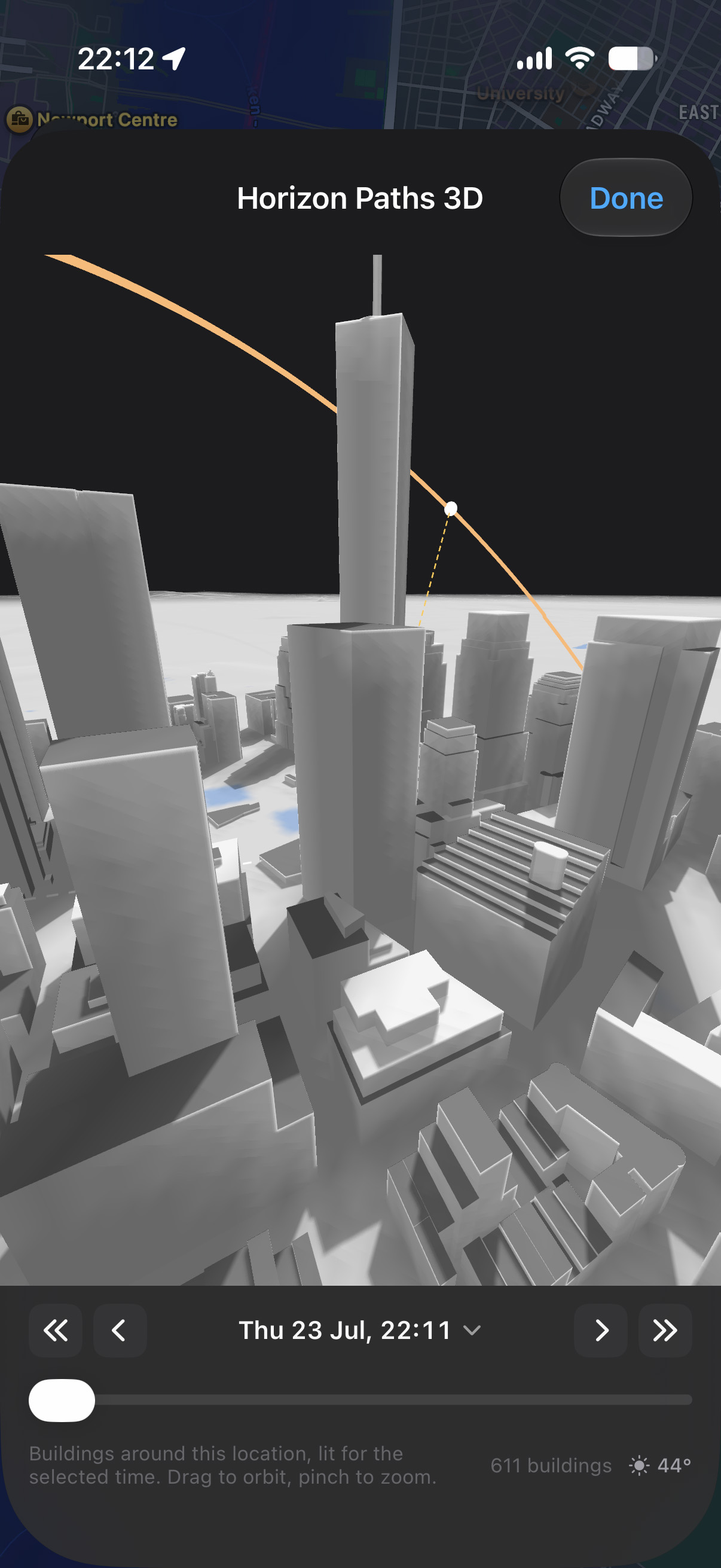
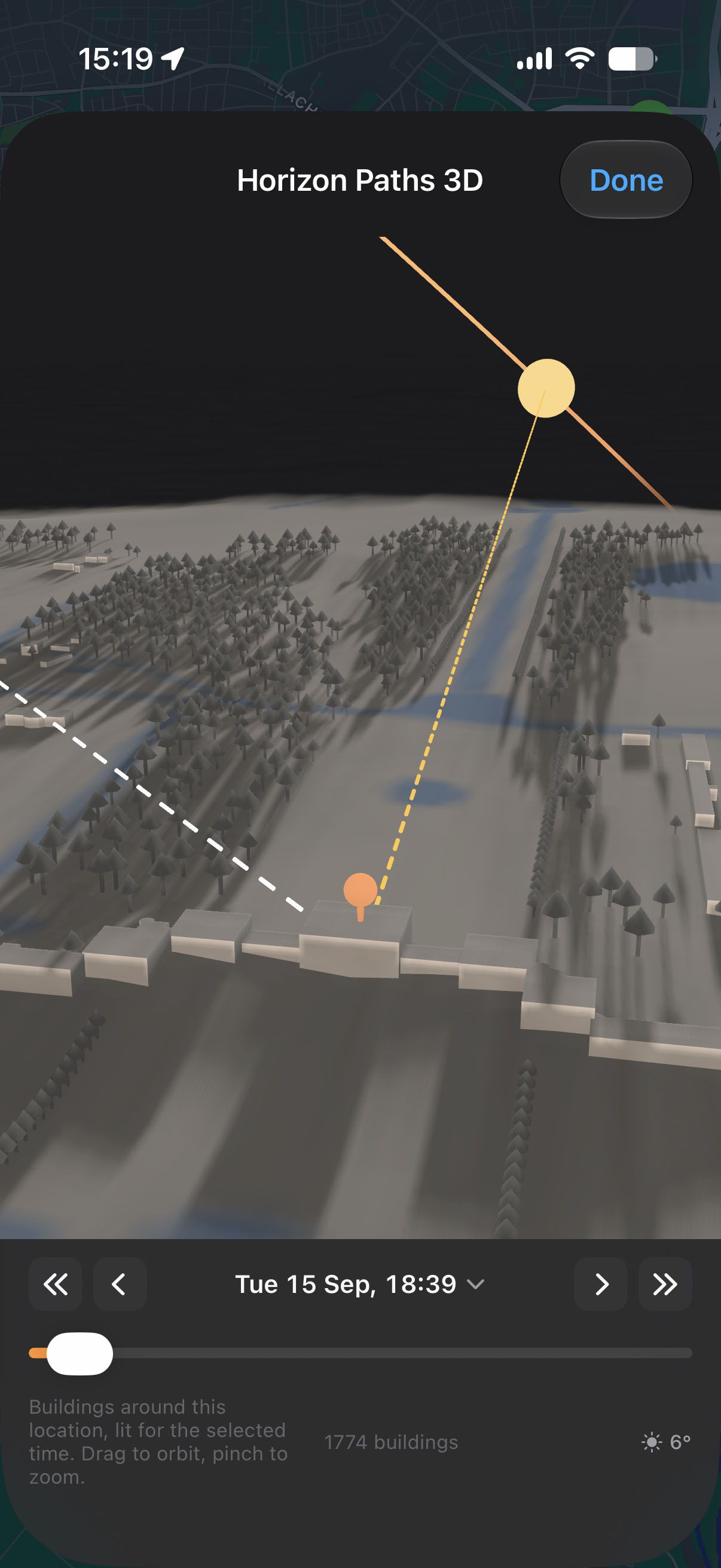
Version 1.6 turned Horizon Paths into a full diorama: any spot as an orbitable 3D model with real terrain, buildings, trees, and coastlines, the moon rendered at its true apparent size, and official NASA/GSFC eclipse predictions through 2030 shown as an exact obscuration percentage when sun and moon overlap above the scene.
The name "Inverza" is rooted in the German word Wolkeninversion (cloud inversion), the condition where a sea of clouds fills valleys while mountain ridges rise above like islands. It is the signature condition of the Alps, where the app is developed.
Features
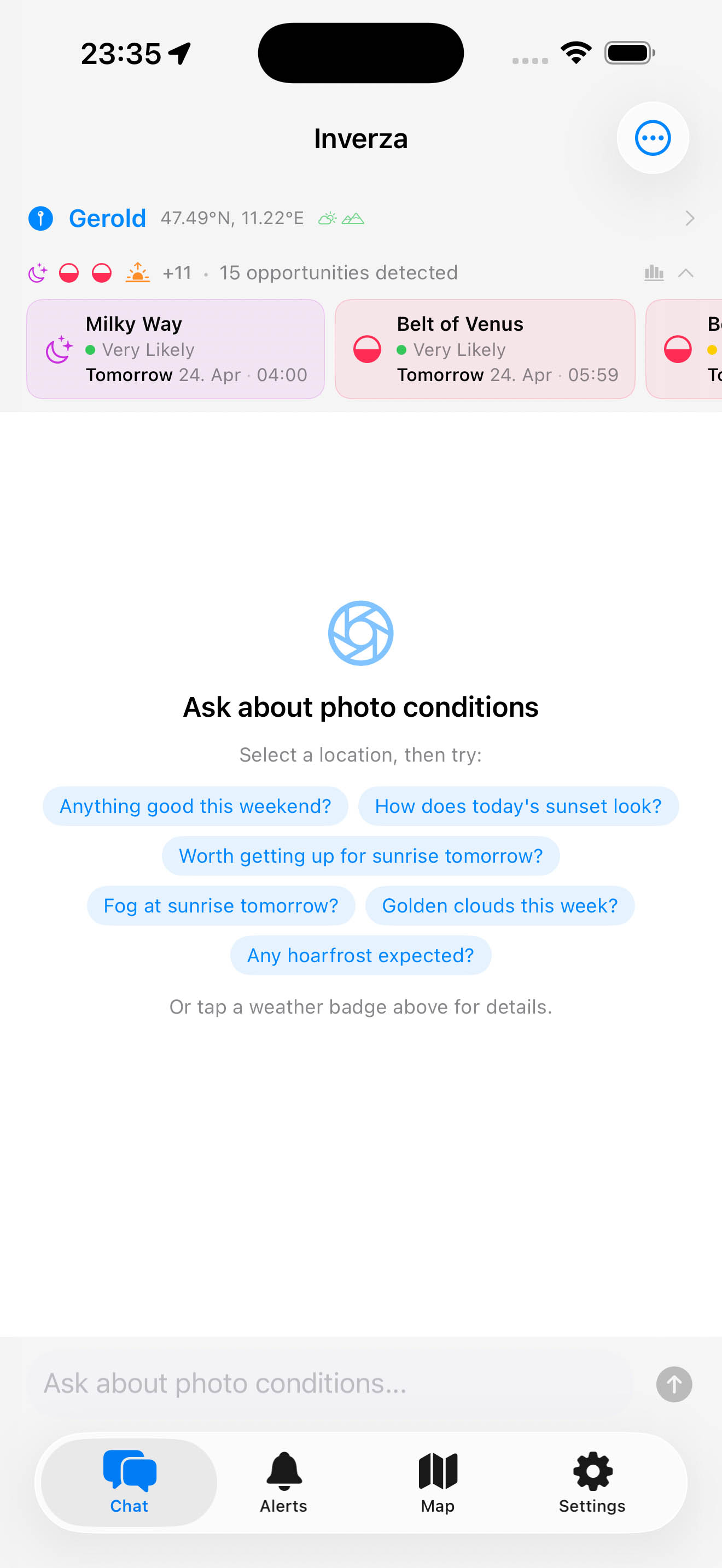
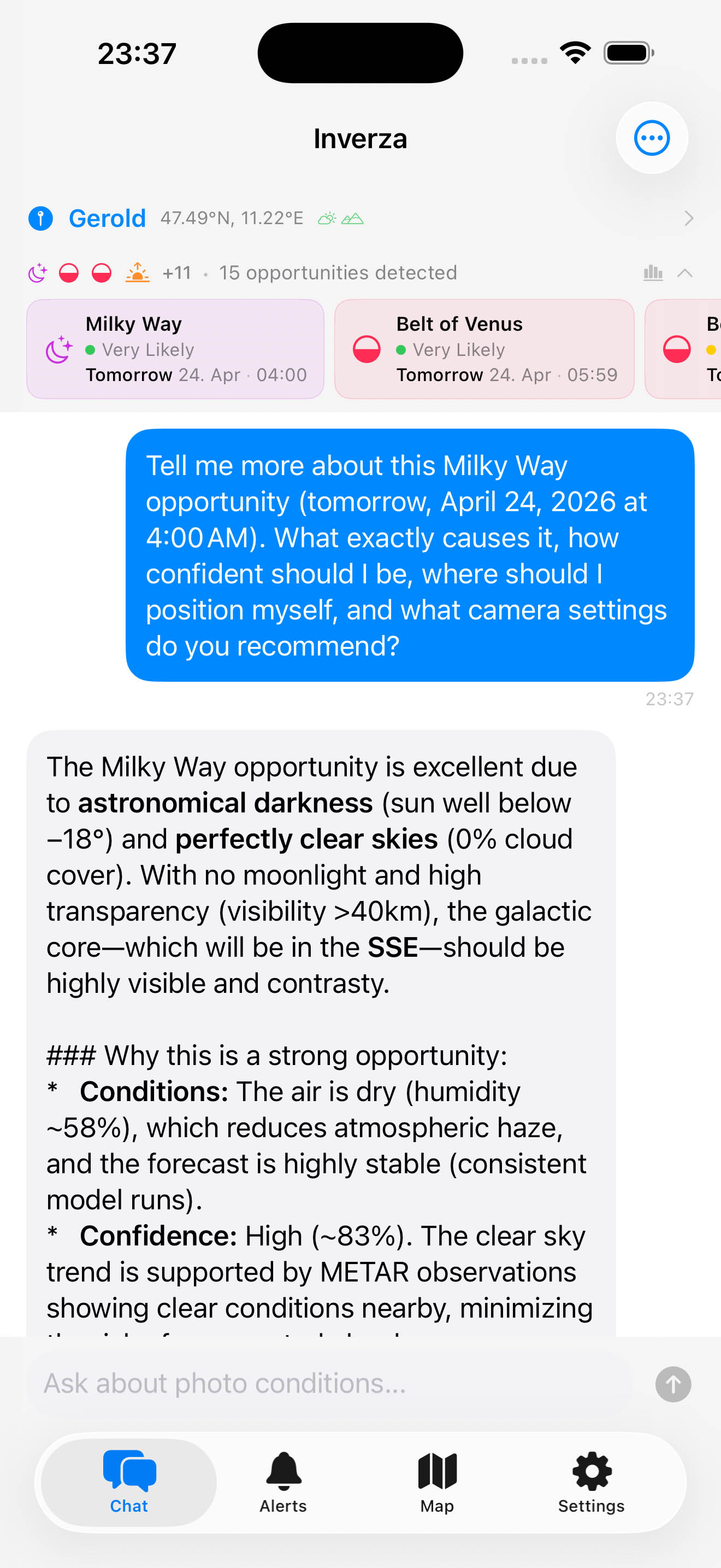
- AI Weather ChatAsk about shooting conditions in plain language. Powered by Claude, Gemini, or ChatGPT, with a built-in option running Google's newest Gemini model (currently Gemini 3.8 Flash).
- 16 Condition DetectorsDawn, afterglow, golden clouds, ground fog, hoarfrost, aurora, fresh snow, dramatic storms, cloud inversion, Milky Way, belt of Venus, reflecting waters, soft light, full moon silhouette, Brocken spectre, lenticular clouds.
- Twilight Ray TracingFor Colorful Dawn and Afterglow, Inverza traces the sun's grazing light path with cloud probes 150, 300, and 450 km along the sunrise/sunset azimuth. Each probe counts only the cloud layers tall enough to reach the ray at that distance, so a front 400 km toward the sun dims the forecast before it can spoil the shoot, while a harmless low bank beneath the ray no longer does.
- AR Sky View (ARKit)Point the camera at the sky and see sun, moon, and Milky Way paths drawn onto the live view, tracked with ARKit. Scrub through time to preview where the sky will be tonight, switch between lenses by focal length to audition the frame, and compose before the event happens. Live readouts show sun, moon, and Milky Way core degrees above the horizon; deep-red night mode protects dark adaptation.
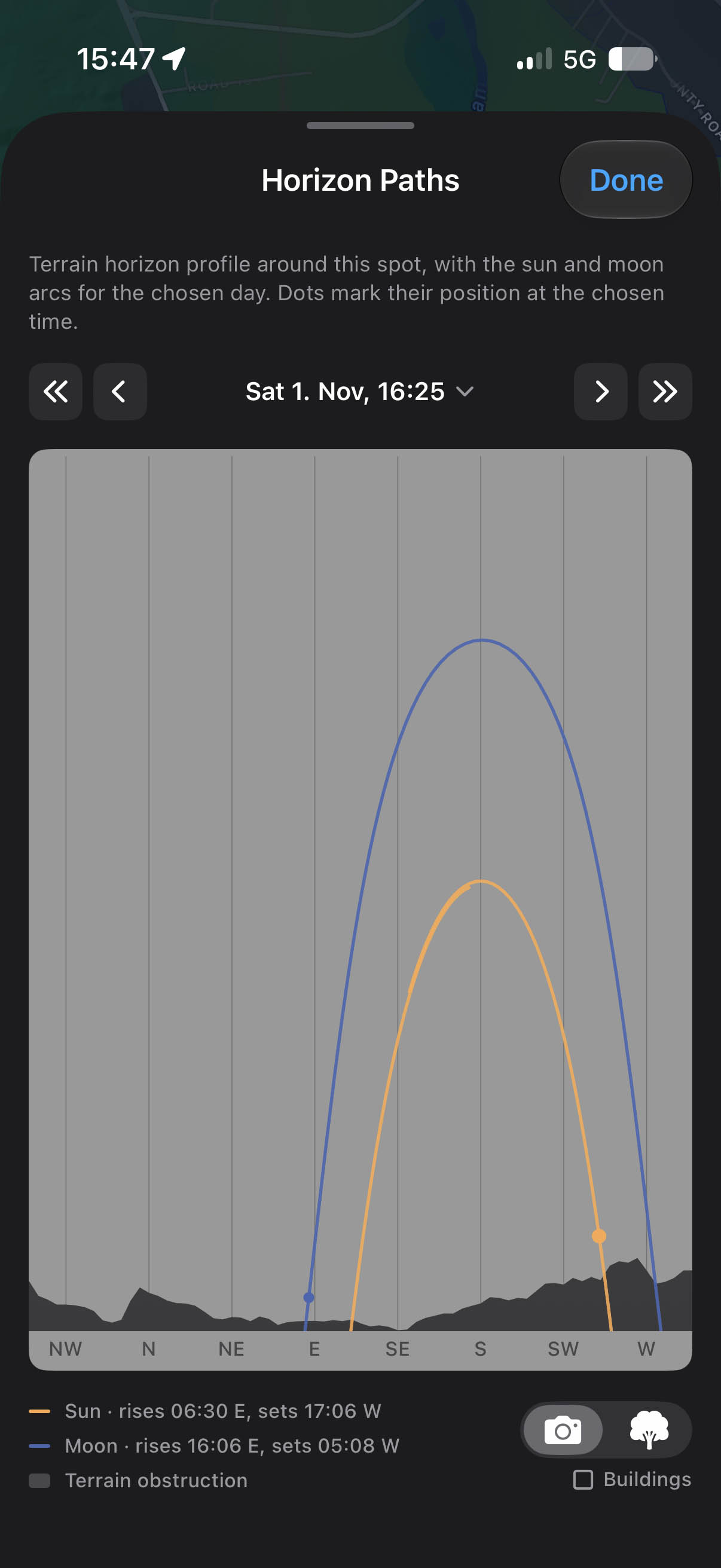
- Horizon PathsThe real 360° terrain horizon of any saved spot, with sun and moon arcs drawn across it. Read off the minute the moon clears a specific ridge, from your sofa, weeks ahead. A Photographer/Subject toggle re-renders the horizon from either vantage.
- Horizon Paths 3DThe same spot as an interactive SceneKit diorama: real terrain out to the surrounding peaks, OpenStreetMap buildings, trees and forests, lakes and rivers, and real coastlines with the ocean filled to sea level, under the sun and moon paths drawn in the sky above the pin. Building and mountain shadows, golden-hour tones, and phase-scaled moonlight all follow the time slider; the moon renders at its true apparent size for the date, and an eclipse percentage appears when it overlaps the sun. Drag to orbit around the photographer or the subject.
- Solar Eclipse PlanningEvery central solar eclipse through 2030 is built in with official NASA/GSFC Besselian elements (eclipse predictions by Fred Espenak, NASA's GSFC). Scrub the Diorama to the eclipse and the sun and moon discs overlap over real terrain with an exact obscuration percentage: 100% only inside the true path of totality. AR Sky then verifies the framing on location.
- Photo SubjectsPair a spot with a separate subject pin up to 50 km away (a peak, a lighthouse, a barn). OpenStreetMap classifies the subject, its own terrain horizon and light windows are computed, and distant subjects get a second forecast at their coordinates.
- Raw Weather Data & Interactive ChartsEvery raw forecast value behind the predictions, surfaced in one panel. Tap any value to explore it as an interactive 7-day chart with pinch zoom, weather condition markers, and day, golden-hour, and night shading tied to the real sunset geometry of the location.
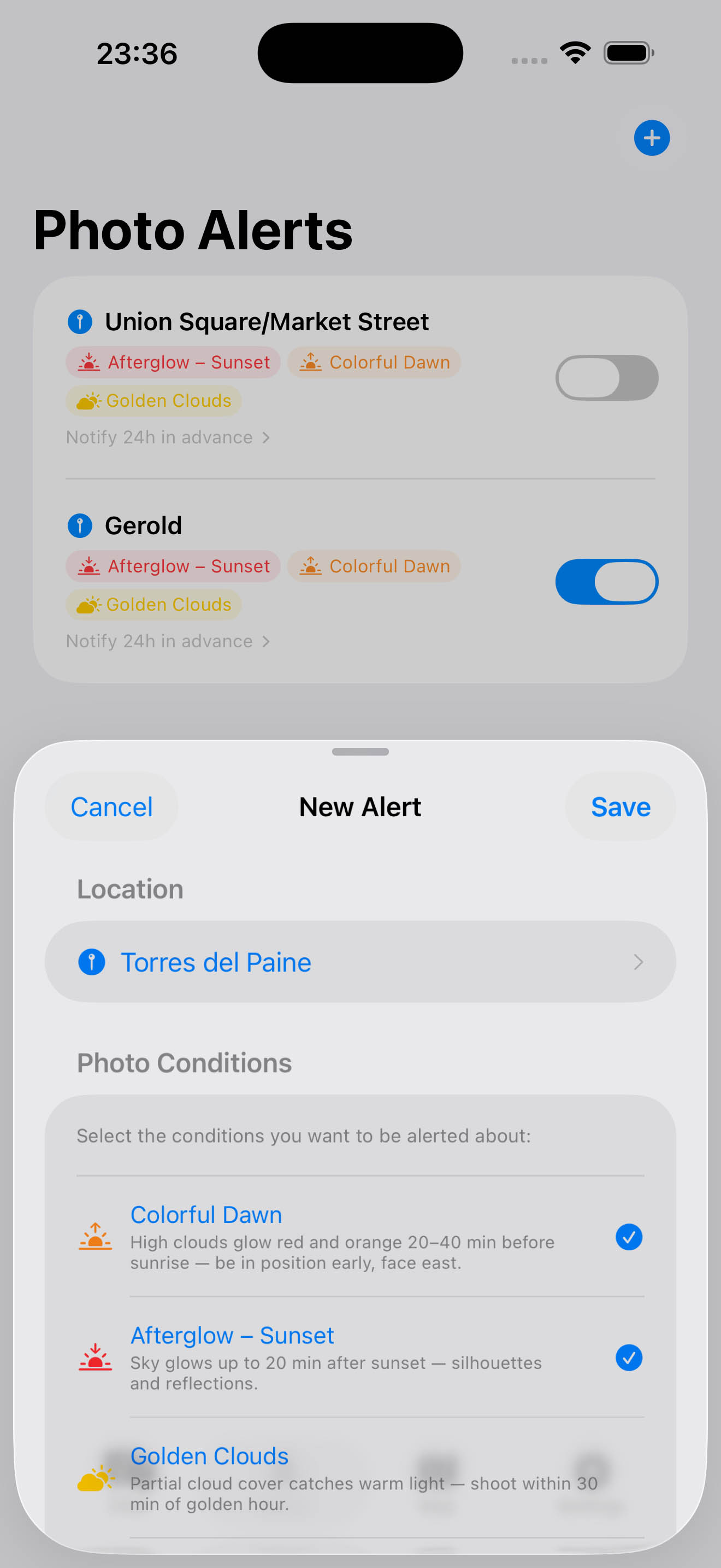
- Raw Data AlertsBuild custom alerts on the exact values you care about: cloud base below the summit, wind under 10 km/h, fresh snow above 5 cm. Notifications are time-sensitive, so a dawn alert reaches you even during Sleep Focus.
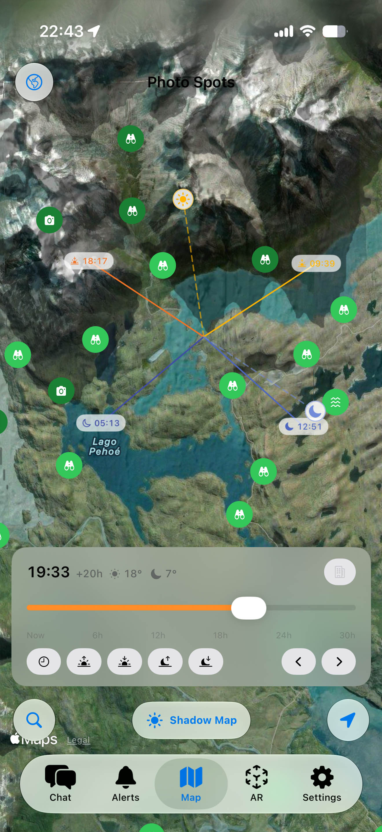
- Shadow MappingGPU-accelerated terrain shadows on a vector polygon overlay. See where light and shadow fall at any time of day, computed from NASA SRTM elevation data on Apple's Metal compute kernels.
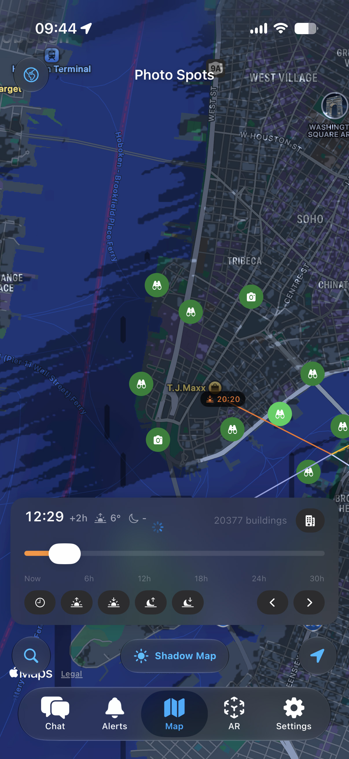
- Building ShadowsZoomed into a city, real building shadows from OpenStreetMap outlines and tagged heights join the same time slider by default, showing which streets and squares catch light, minute by minute. To our knowledge no other photography planning app draws building shadows on the map.
- 3D Shadow MapTilt the camera up to 85 degrees to see how shadow lines drape across real terrain elevation, helping predict exactly when a peak, valley, or coastline falls into golden light.
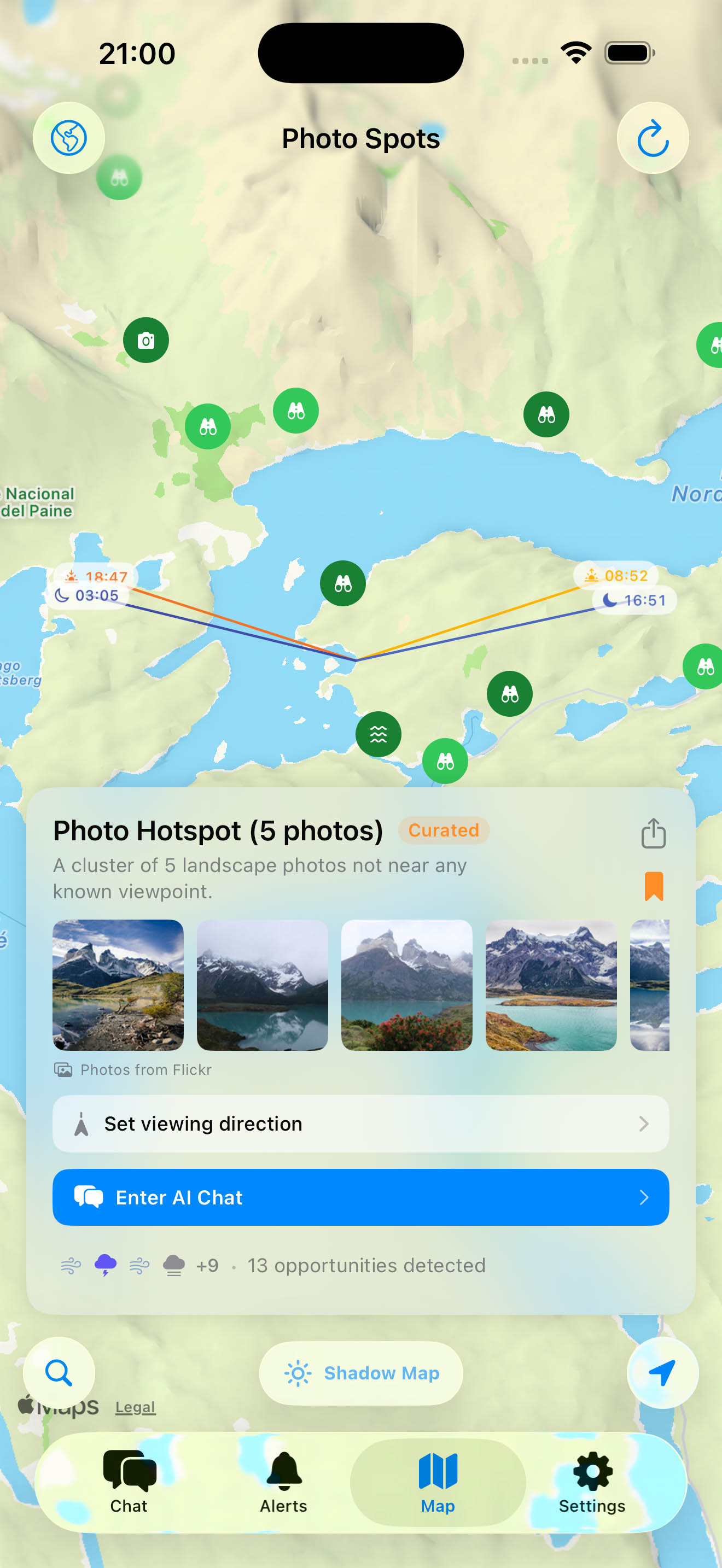
- Photo Spot MapDiscover viewpoints through geotagged photos, with sunrise and sunset direction lines overlaid on terrain shadow maps.
- Auto-Selected Regional ModelsOpen-Meteo's best-match strategy consults the right model for each location: HRRR (3 km, North America), ICON-D2 (2.2 km) and ICON-EU (7 km, Europe), ECMWF IFS (~9 km, medium-range global), GFS (13 km, global fallback). 15-minute resolution where available.
- METAR Cross-CheckReal-time ground truth from the nearest airport station (NOAA AWC), cross-referenced against model predictions. Confirmed conditions are upgraded to a "Live" tier.
- Marine & Water-Body AwarenessOpen-Meteo Marine sea-surface temperatures power coastal advection-fog detection (SF Bay, UK coast, Pacific Northwest). Inland water-temperature estimates from recent air-temperature history drive steam-fog detection on calm autumn dawns.
- Aerosol & Air-Quality DataHourly aerosol optical depth, PM10, and Saharan-dust readings (Open-Meteo Air Quality) feed Soft Light scoring - the dreamy particle-softened golden hour.
- Forecast EvolutionPrevious-run analysis compares consecutive model runs - drifting forecasts get a confidence penalty, stable predictions earn more trust.
- Smart Alerts (Multi-Location)One alert can track several locations at once - aurora across Tromso, Reykjavik, and Lapland, for example - and notify you whichever site lights up first. Push notifications, no ads, no tracking.
- Haptic FeedbackTaptic Engine pulses on the shadow timeline scrubber, condition badge carousel, and pull-to-refresh confirmations.
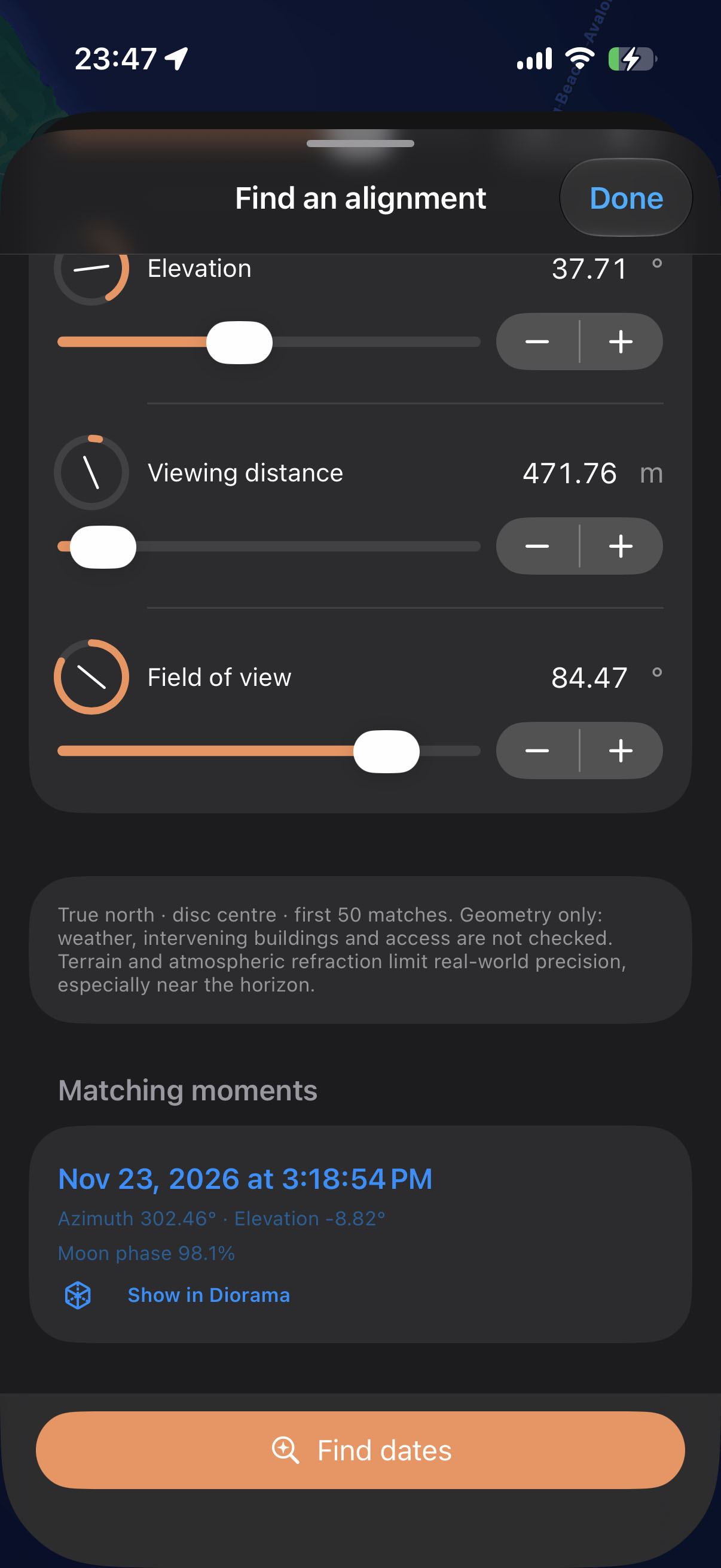
- Find AlignmentsSearch for Sun or Moon alignments by azimuth, elevation, date range, moon phase and adjustable photographer/subject heights. Use the controls or describe your photograph in Find with AI, review the settings, then calculate matching dates on your device.
- Save & Load Shooting PlansSave a shooting plan with its locations, heights, date, time, camera view, field of view, Find settings and notes. Load restores the setup, including its location. Plans stay on your device.
Pricing
14-day free trial, then $4.99 per year. One tier. No ads, no tracking, no data resale. Subscription is handled through the App Store and can be cancelled any time.
Screenshots
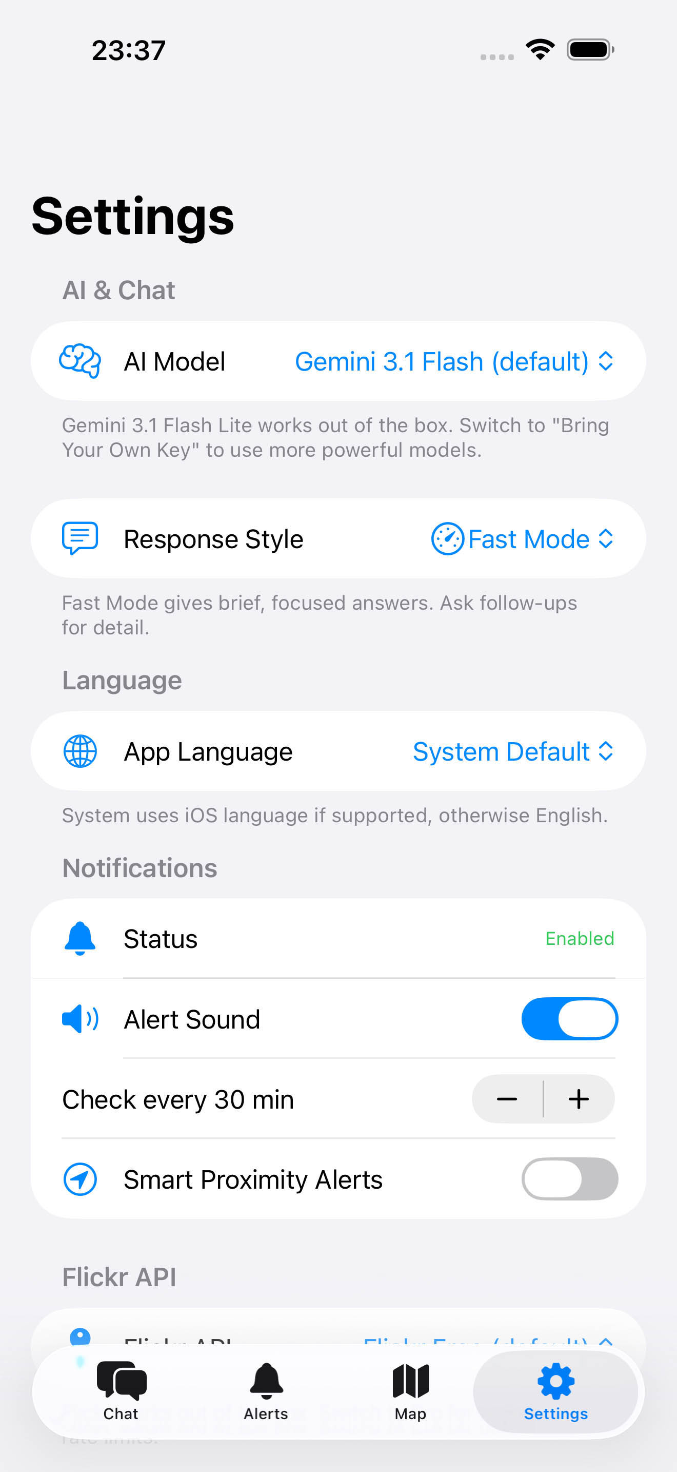
All screenshots are free to use with credit. Click to download the full-resolution file.
Logos & app icon
Use either the light or dark variant. Keep at least 8 px of padding around the glyph. Do not recolor, distort, or rotate.
 Inverza
 Inverza

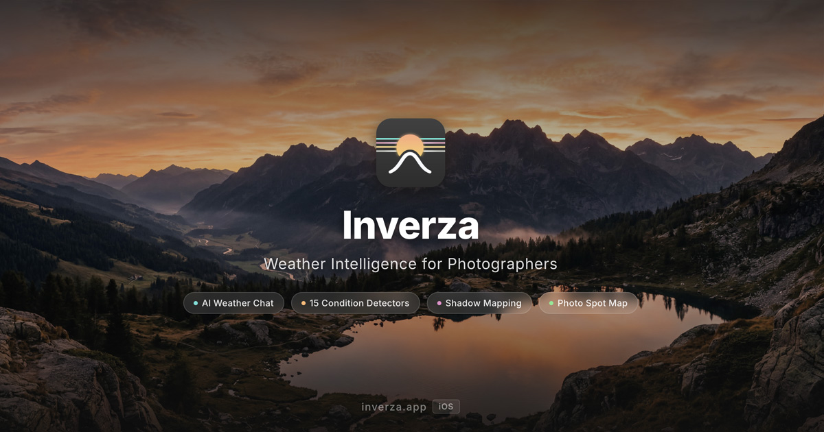 Download JPG
 Download JPG
Boilerplate
Copy-paste text for articles and listings.
Short (1 sentence):
Inverza is an iOS app that uses AI and multi-model weather data to predict sixteen photo-worthy conditions for landscape photographers.
Medium (3-4 sentences):
Inverza is a landscape photography weather app for iOS. It auto-selects the best regional weather model for each location and layers real-time airport observations, marine sea-surface temperatures, aerosol data, and NASA elevation data to predict sixteen photo-worthy conditions - from colorful dawn and cloud inversions to aurora borealis, Brocken spectres, and lenticular clouds over mountain ridges. An ARKit-powered AR Sky view draws sun, moon, and Milky Way paths onto the live camera feed so compositions can be locked before the event, and a Horizon Paths chart plans them remotely against the real terrain horizon of any spot. One tier: 14 days free, then $4.99 per year.
Quotable claims
Lines writers are welcome to lift, verbatim or adapted. Each claim comes with the fact that backs it.
- "The Swiss Army knife of weather apps for photographers."One $4.99/year subscription covers forecasting, 16 condition detectors, AR composition previews, terrain horizon charts, GPU shadow mapping of terrain and buildings, photo spot discovery, raw data charts, and custom alerts. There is no feature tier above it.
- "The only weather app we know of that combines AR, AI, and photo spot planning with AI-powered condition detection."Planning apps do geometry, model browsers show raw weather, and a handful of apps detect conditions. Inverza is, to our knowledge, the only one doing composition (AR Sky, Horizon Paths), interpretation (16 detectors with confidence tiers), and conversation (AI chat) in a single tool.
- "Where generic weather apps answer 'will it rain?', Inverza answers 'will the light be worth getting up at 4 a.m.?'"The app's core framing. Every detector outputs a confidence score, a time window, and a plain-language explanation of why.
- "An interpretation engine, not a model browser."Inverza auto-selects the right regional model per location and blends eight data streams - global model, horizon clouds in four directions, air quality, marine temperatures, landcover, live airport observations, high-res regional models, and previous model runs - into one answer: should I go?
- "Sixteen conditions most weather apps have never heard of."Brocken spectre, Belt of Venus, cloud inversion, lenticular clouds, hoarfrost, afterglow, valley fog, Milky Way visibility, and more - each with its own detection logic and terrain awareness.
- "It can tell you the minute the moon clears a specific ridge, weeks in advance."Horizon Paths computes the real terrain horizon of any saved spot from elevation data and draws sun and moon arcs across it; AR Sky then previews the exact frame on location, per lens.
- "NASA-grade solar eclipse predictions through 2030, over your exact spot."Every central solar eclipse through 2030 is bundled with official NASA/GSFC Besselian elements (eclipse predictions by Fred Espenak, NASA's GSFC). Scrub the 3D Diorama to the eclipse and the true-size sun and moon discs overlap over real terrain with an exact percentage: it reads 100% only inside the genuine path of totality, accurate to the kilometre at the path edges.
- "It checks the weather 450 km toward the sun before promising you an afterglow."Twilight colour is lit by a ray that grazes the Earth's curvature hundreds of kilometres away. Inverza probes the cloud layers at 150, 300, and 450 km along the sun's azimuth and gates each by the ray's height there, geometry most weather apps never consider.
- "The only photography planning app we know of that draws building shadows on the map."Dedicated shadow tools exist, but among photography planners the shadow map's buildings toggle stands alone: OpenStreetMap outlines and tagged heights rendered on the same scrubber as the mountain shadows, backed by weather, conditions, and alerts in the same app. The AI uses the same building data to warn when a chosen subject sits in building shade.
- "No server, no account, no ads."Inverza has no app-operated backend. Weather queries go directly to providers. Saved spots are stored locally; keys are kept in Keychain and sent only to their provider. Optional AI chat shares relevant conversation, location and planning context after permission. Gemini chat requires an 18+ confirmation. No in-app ads or cross-app tracking SDK.
- "Built by one landscape photographer, in the Alps, for his own camera bag."Inverza is designed, coded, and field-tested by a single developer who shoots the conditions it predicts. The app's name comes from the cloud inversion, the signature condition of its home mountains.
Founder quote
"I started Inverza because I wanted exactly one thing: an alert that wakes me up when a fire sky is coming. Then I just kept building every feature I personally wished existed and couldn't find anywhere - the AR view to frame a shot before the sky delivers it, the horizon charts, the raw data graphs. It's the app I always wanted in my camera bag, and I'm the heaviest user of every feature in it."
Marcel Strelow, founder and developer. Free to use in coverage; happy to provide fresh quotes on request.
Story angles
- The alert that became an appA landscape photographer builds a wake-me-for-the-light alert, then keeps adding every tool he wished existed: AR composition previews, terrain horizon charts, raw data graphs. A one-person product shaped entirely by personal use.
- Planning vs. the momentDoes forecasting the light kill the magic of photography, or free you up for it? Inverza's position: solving the geometry in advance buys presence in the field. The most famous counterexample, Ansel Adams' unmetered ninety-second Moonrise, is really a preparation story in disguise.
- An indie app marketed with a short filmInstead of a text tutorial, Inverza's features debut in "Stealing Moonrise", an AI-made (and labelled) short film in which a time-travelling photographer tries to take the world's most famous landscape photo an hour before Ansel Adams. See the blog for the companion post.
- Weather apps grow upThe shift from model browsers (read the raw data yourself) to interpretation engines (the app tells you what the data means for your use case), with Inverza as a case study for the photography niche.
Press contact
Marcel Strelow · Founder & Developer
Email: contact@inverza.app
We aim to reply to press inquiries within two business days. Review codes and embargoed information available on request.