14 days free · then $4.99/year
Inverza - The Landscape Photography Weather App for iOS
AI-powered weather analysis, an interactive photo map, and real-time condition detection - everything you need to chase the light.
AI-powered weather analysis, an interactive photo map, and real-time condition detection - everything you need to chase the light.
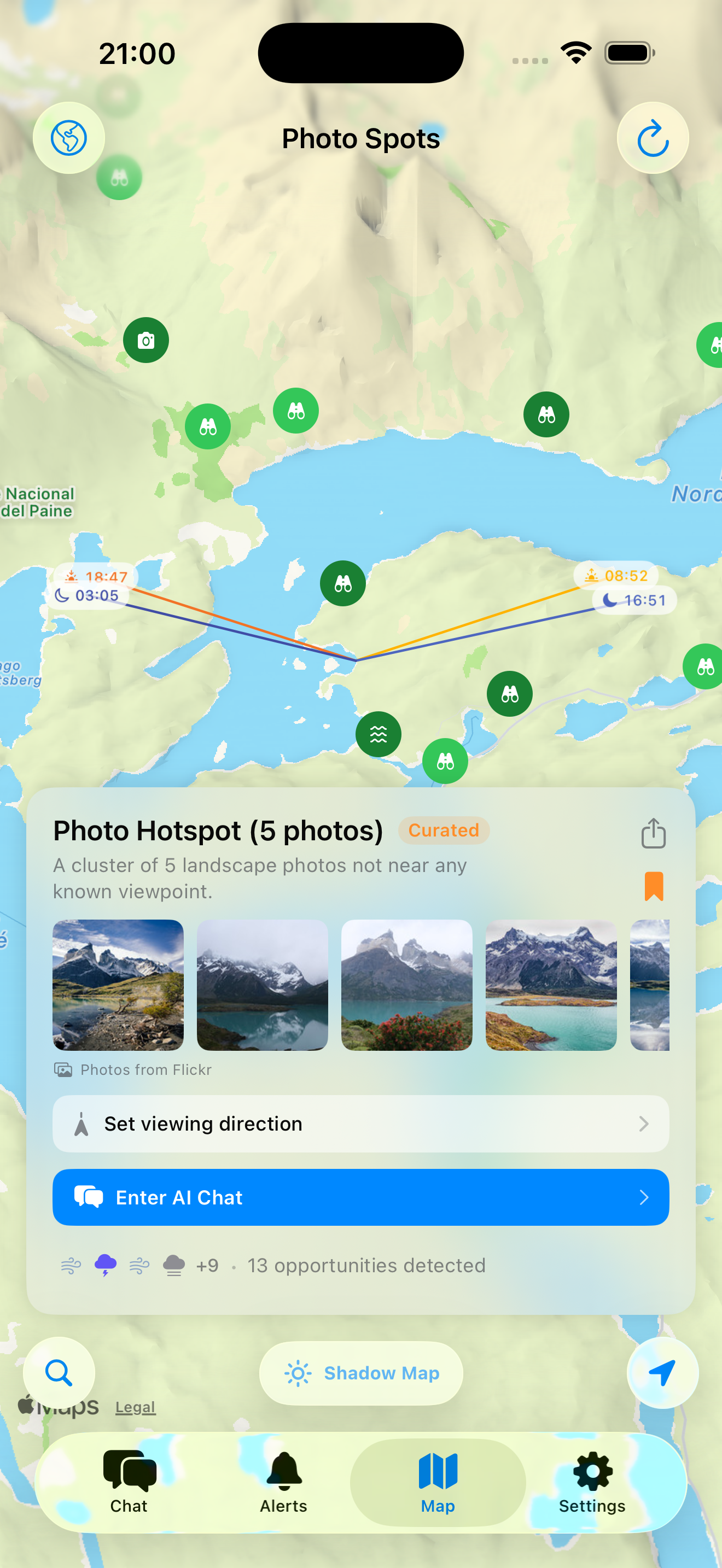
Browse OSM viewpoints, Flickr hotspots, or save your own favorite locations on the interactive map.
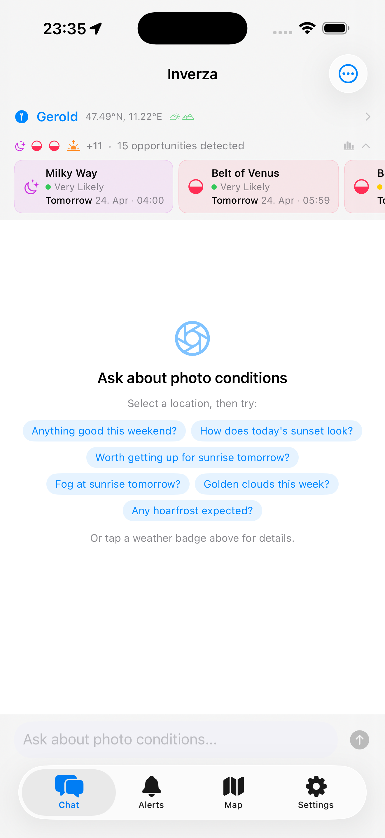
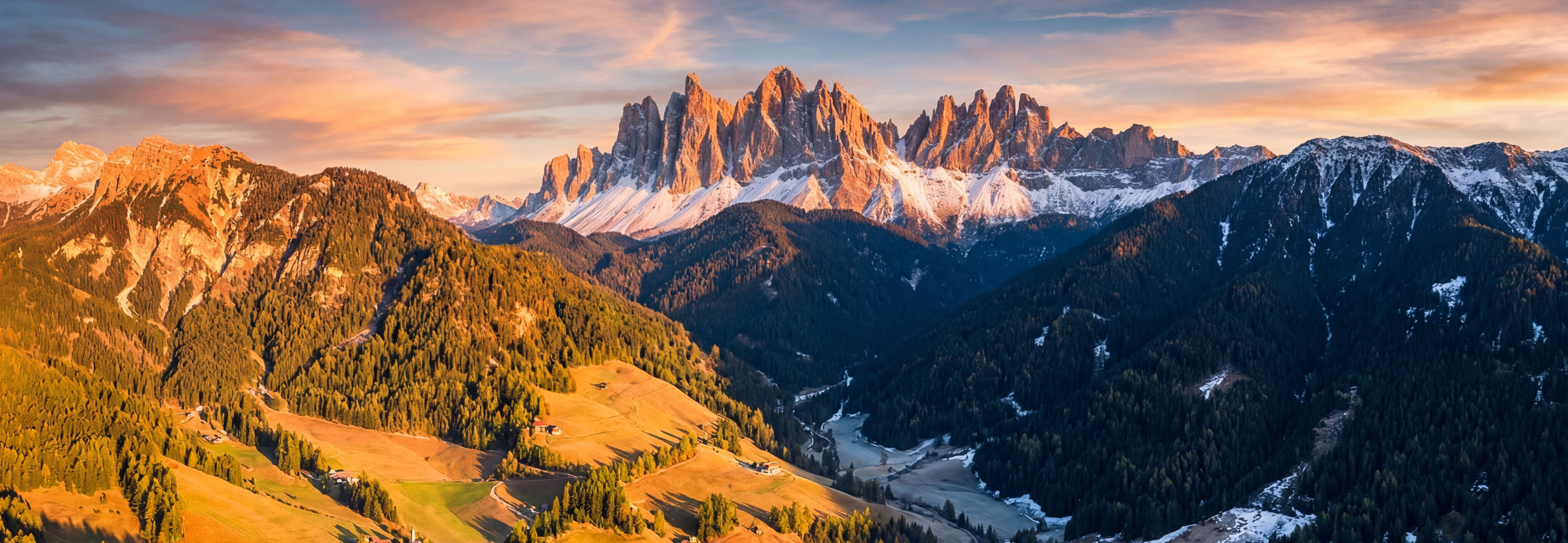
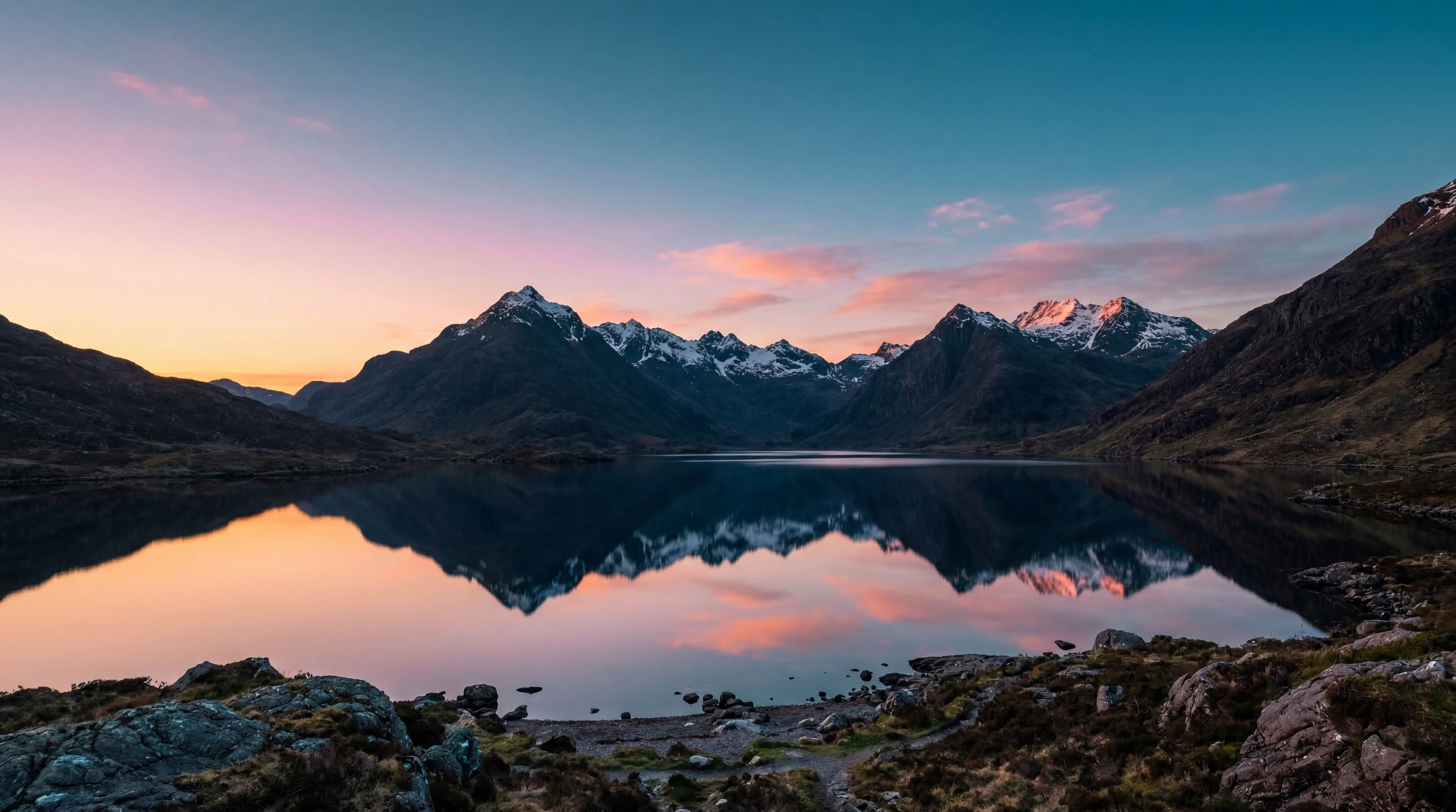
Condition badges instantly show when golden hour, fog, or dramatic skies are forecast. Tap any badge for details.
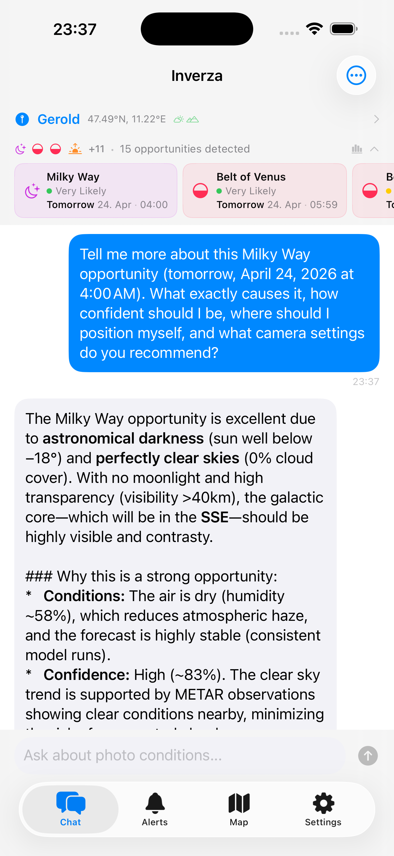
Chat with the AI about your specific spot. It considers weather, viewing direction, and time to give tailored advice.
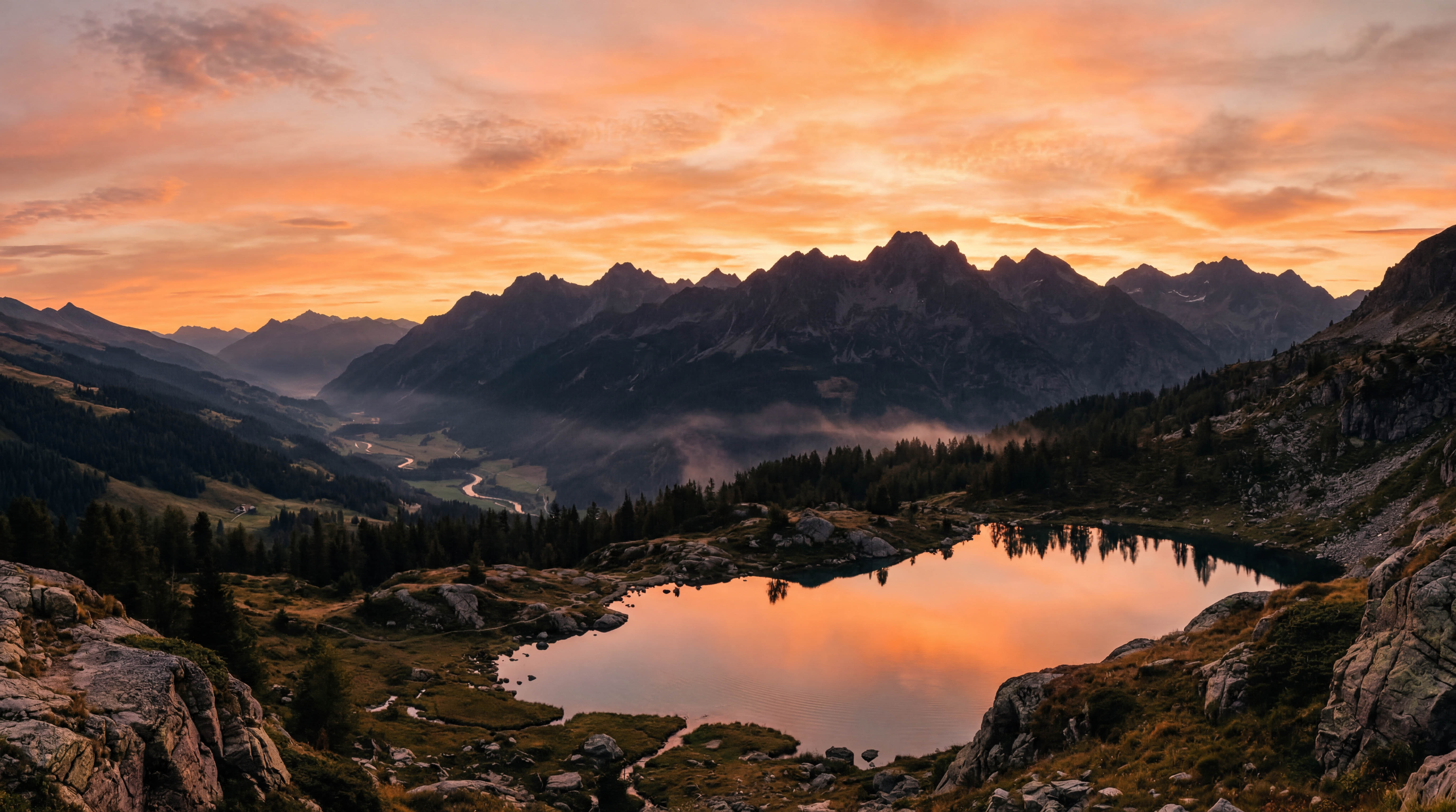
Find your perfect spot
Find your spot - browse OSM viewpoints, Flickr hotspots, and save your own locations.
Inverza combines weather data, maps, and AI into one purpose-built tool for landscape photography.
Photo Conditions Explained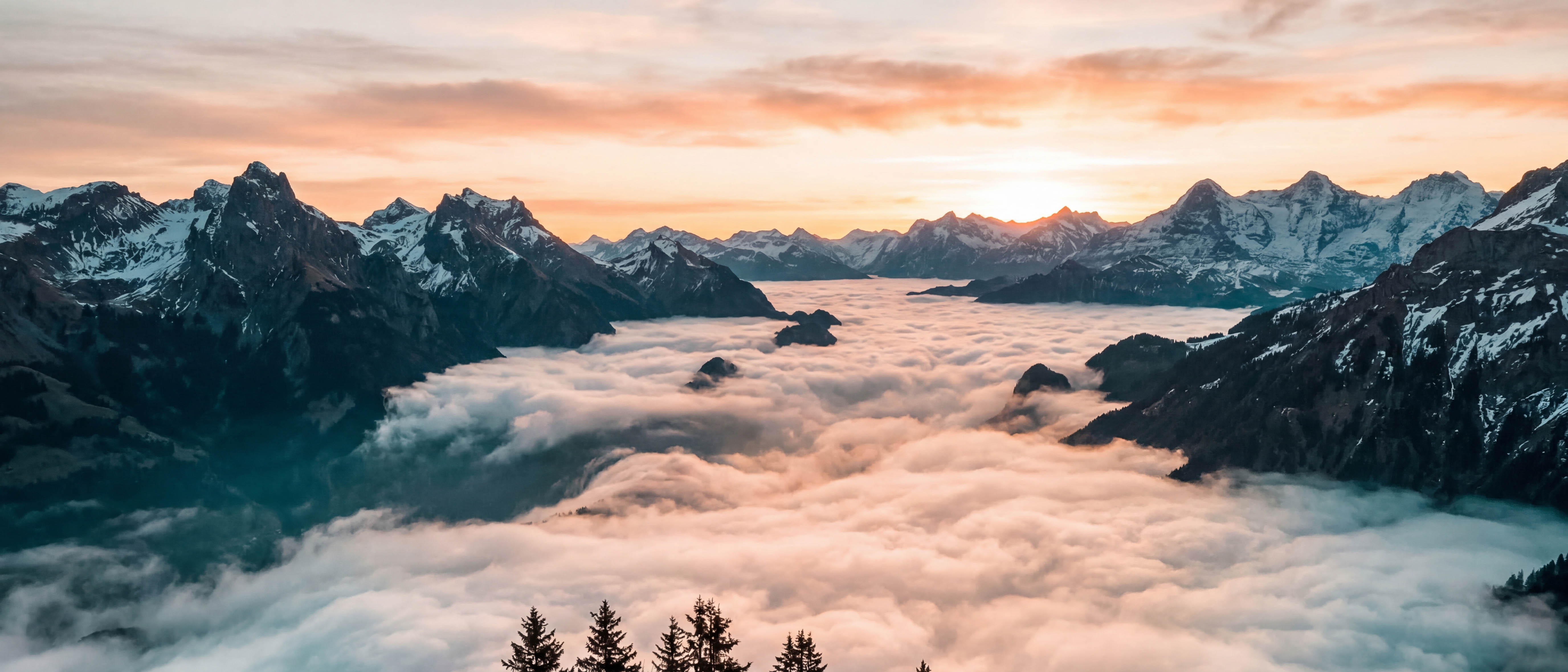
Ask an AI assistant about shooting conditions in plain language. The built-in AI is included - try free for 14 days, then $4.99/year. Or bring your own key for Claude, Gemini, or ChatGPT.
The AI analyzes wind direction and cloud movement to predict where the most dramatic skies will form relative to your position.
Auto-selects the best regional model for your location (HRRR, ICON-D2/EU, ECMWF, GFS) and layers METAR ground truth, marine SST, water-temp history, and run-to-run stability on top - then translates it all into actionable photo conditions.
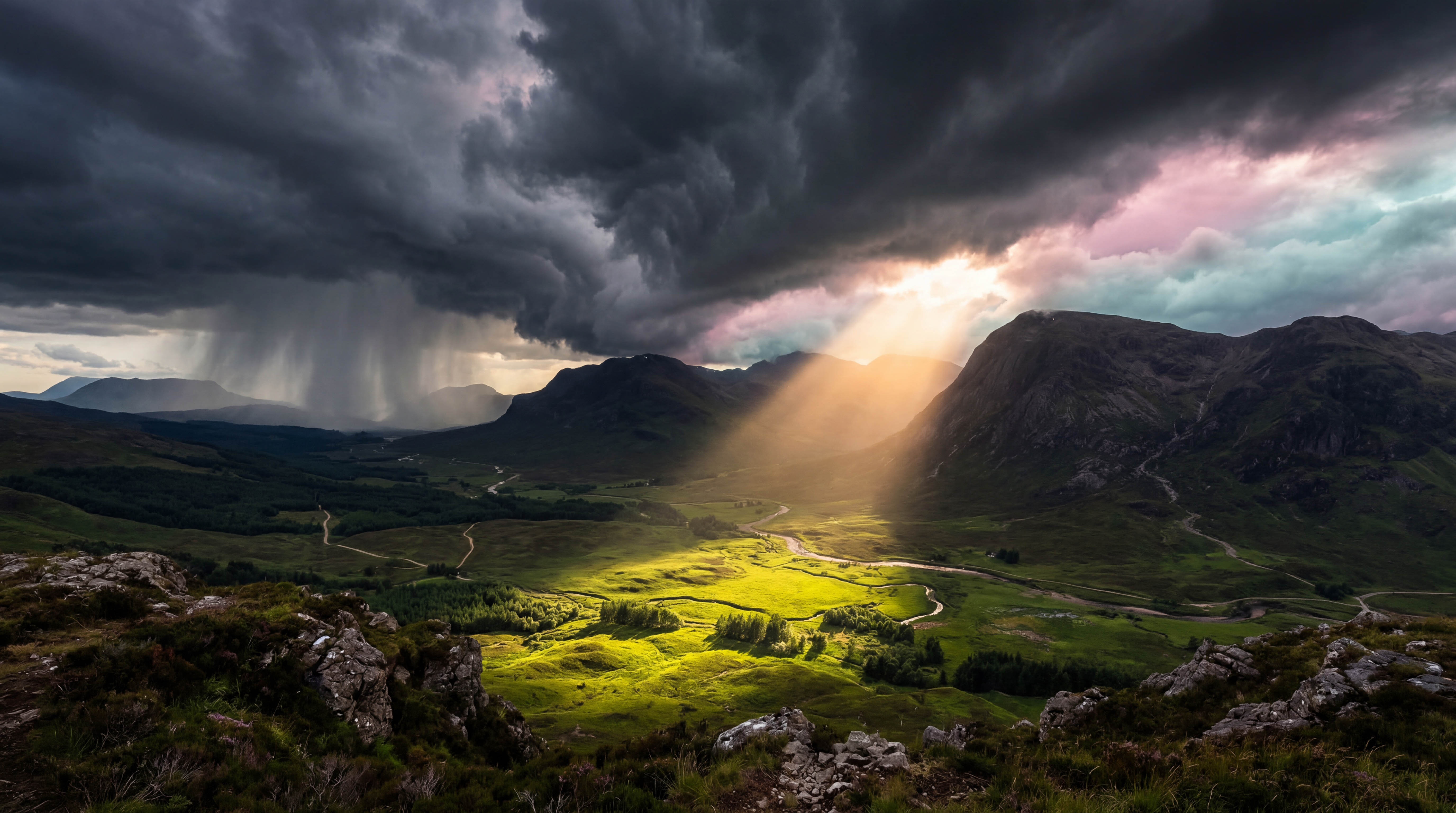
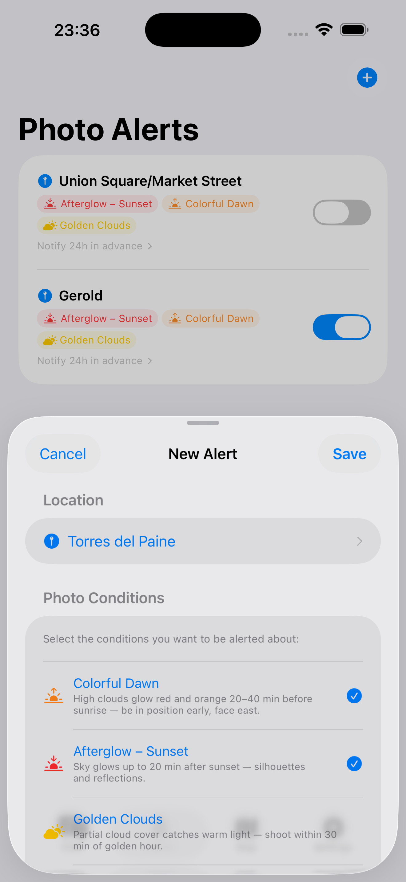
At-a-glance badges tell you when golden hour, dramatic skies, fog, storm light, or clear-sky astro conditions are forecast - so you never miss an opportunity.
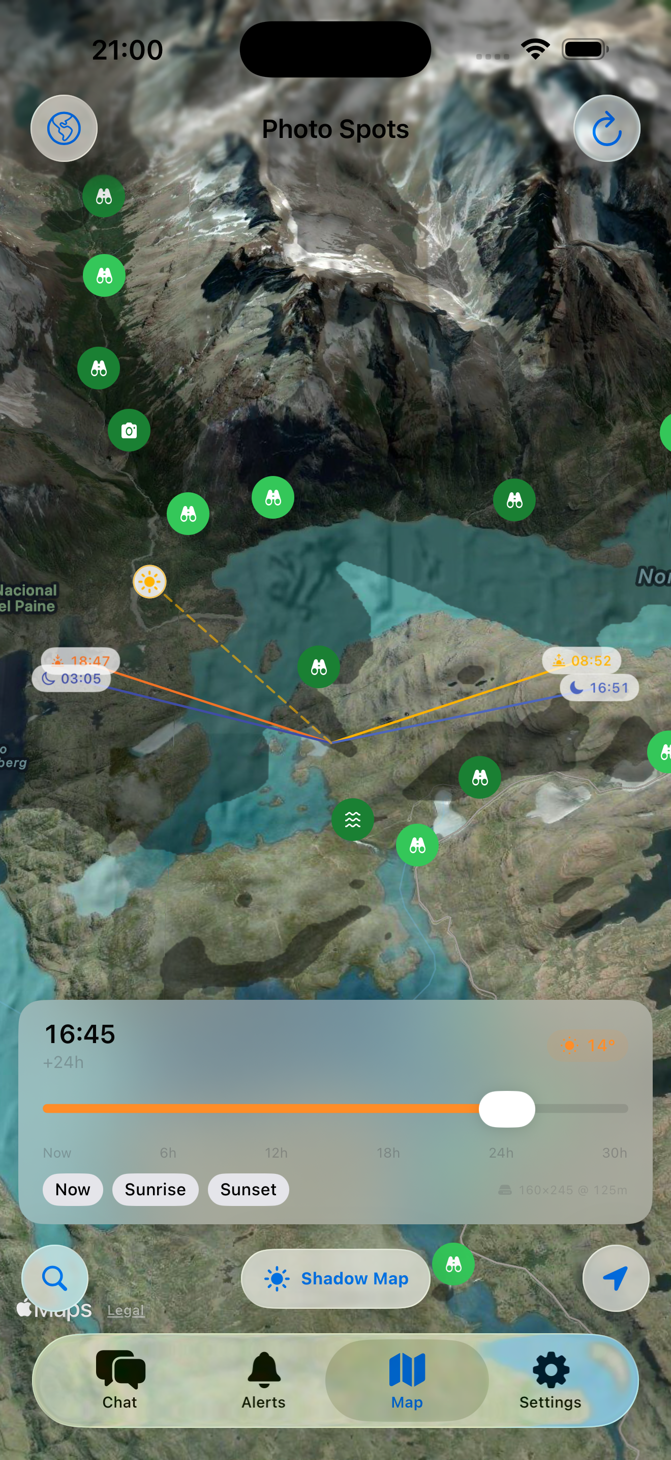
Visualize where mountain shadows fall at any time. Scrub from now to 30 hours ahead with quick jumps to sunrise and sunset.
Select any pin on the map to see sunrise, sunset, moonrise, and moonset direction lines with exact times. With the shadow map active, two extra dotted lines track the current sun and moon position live as you scrub the time slider, so you can see exactly where light will be coming from at any moment.

Discover photography spots from OpenStreetMap viewpoints, save your own curated locations, and explore Flickr photography hotspots - all on one map.
Flickr photo density scores every viewpoint - popular spots glow dark green. Hidden clusters of landscape photos appear as camera icons on the map.
Set which direction a spot faces - point your phone to capture the heading. The AI knows whether sunrise or sunset will be in your field of view.
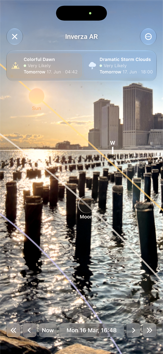
Hold up your phone and see the sun, moon, Milky Way core, and the North Star drawn onto the live view, exactly where they sit in the real sky. Scrub time to watch them arc across the horizon, with your condition badges and a compass overlaid. A red Night Mode keeps your eyes dark-adapted for astro work.
See real photos of any spot from Flickr and Wikimedia Commons. Flickr works out of the box - or bring your own Pro key.
Share any spot via Messages, email, or any app. Includes an Apple Maps link and a one-tap import deep link.
Track which photo conditions appear most often at each location, broken down by season. The AI uses this data for smarter recommendations.
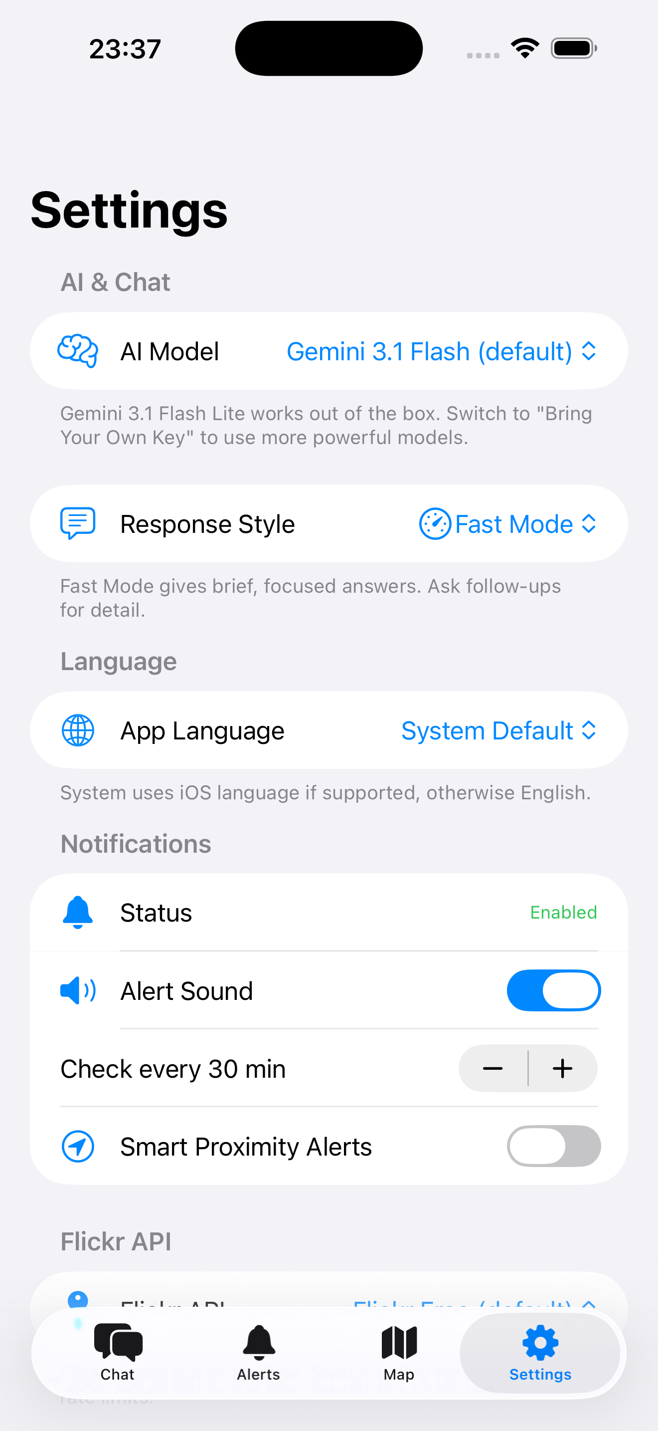
Use Inverza in English, German, French, Spanish, or Italian. Switch languages instantly in Settings.
Built-in diagnostic screen shows background check status, cache usage, and network health. Cached data keeps the app usable offline.
Apps like Windy give you a model picker - flip through ECMWF, GFS, ICON, HRRR and read the raw output yourself. Inverza takes the opposite approach: the right regional model is consulted automatically, and a stack of additional non-model sources is layered on top before anything reaches your screen as photographic guidance.
Inverza taps Open-Meteo's best-match selection so your forecast is built from the right model for your latitude: HRRR (3 km, hourly) in North America, ICON-D2 (2.2 km) and ICON-EU (7 km) in Europe, ECMWF IFS (~9 km) for medium-range globally, GFS (13 km) as a global fallback. No manual model switching - the right one runs for where you are.
Real-time observations from the nearest airport weather station (NOAA AWC) cross-check the model. When the METAR confirms what the forecast predicted, the badge gets upgraded to a Live tier - "this isn't a forecast anymore, it's happening right now." When METAR contradicts the model, scoring is penalised accordingly.
Sea-surface temperatures from Open-Meteo Marine drive coastal advection-fog detection (warm humid air over cooler seas - SF Bay, the UK coast, the Pacific Northwest). For inland lakes and rivers, water temperature is estimated from the last few days of air temperature history, powering steam-fog detection on calm autumn dawns.
Open-Meteo's previous-runs API lets Inverza compare today's forecast for a given hour with what yesterday's run predicted for that same hour. When the cloud forecast has shifted by more than 25 percentage points between runs, the detection score is gently penalised and the reason string flags the drift - so you can see when the atmosphere hasn't quite settled on what it's doing yet.
Hourly aerosol optical depth, PM10, and Saharan dust readings (Open-Meteo Air Quality) feed the Soft Light detector - the dreamy, particle-softened golden hour that photographers love only forms when there's enough fine material in the atmosphere to diffuse the sun without smothering it.
700 and 500 hPa winds, temperatures and humidities feed lenticular-cloud detection, combined with a real-time ridge analysis of NASA SRTM elevation data near your spot. Mountain-wave clouds need strong winds nearly perpendicular to a prominent ridge and a stable lapse rate - all three are checked before a Lenticular badge surfaces.
The result: instead of a wall of model layers you have to read like a meteorologist, you get one answer per condition - Ground Fog: Likely (steam-fog pattern); Lenticular: Very Likely (NW wind perpendicular to ridge, 65 km/h at 700 hPa); Milky Way: Live (METAR clear sky, no moon). The underlying models are the same ones Windy lets you browse - they just feed an interpretation layer instead of being shown raw.
Inverza has no backend server, no accounts, and no tracking. Here's exactly how your data is handled.
All data - saved spots, preferences, API keys - lives on your device. Delete the app and everything is removed. No cloud sync, no accounts.
None. No analytics SDKs, no crash reporting, no advertising frameworks, no tracking pixels.
If you are in the EU/EEA, you have the right to access, correct, delete, and port your data. Use the Export/Import feature for data portability.
Inverza is an interpretation engine, not a model browser. It uses Open-Meteo's automatic best-match selection so the right regional model is consulted for your location:
On top of those numerical models, Inverza layers METAR ground observations from the nearest airport, Open-Meteo Marine sea-surface temperatures for coastal advection-fog detection, inland water-temperature estimates from recent air-temperature history for steam-fog detection, aerosol and air-quality data (PM10, AOD, Saharan dust) for soft-light scoring, and previous-run model stability analysis that compares consecutive forecast runs to penalise predictions that have drifted significantly.
Apps like Windy let you browse the raw output of every model and interpret it yourself - invaluable for meteorologists and pilots. Inverza takes the same models, blends them with all the non-NWP sources above, and translates the result into 16 photographically meaningful conditions with confidence tiers (Possible → Likely → Very Likely → Live).
Start planning your next landscape shoot today. Try free for 14 days, then just $4.99/year.
 Scan on your phone
14 days free · $4.99/year · Cancel anytime